
When we think of satellites in transport, we usually picture the navigation app on our phone. The European SPATRA project shows that orbit can offer far more: Earth observation data, backed by artificial intelligence, helps keep an eye on rail temperatures and ease congestion at a border crossing in Serbia. The goal is simple — safer, more efficient and more environmentally friendly land transport — and at the end you can check what kind of traveller you are in the world of data.
Europe’s land transport network is dealing with many problems at once. Traffic is getting denser, the whole system is becoming more complex, and its impact on the environment is growing. This is a serious challenge for road and rail managers. The EU-funded SPATRA project offers an answer that comes from orbit: satellite data enhanced by artificial intelligence.
The team’s aim was ambitious but concrete. Land transport networks should become safer, more efficient and more environmentally friendly, and the tool meant to make this possible is data that is already circling above our heads.
Earth observation data has long provided critical insights for sectors such as agriculture and disaster management. Yet there are still many areas where the full potential of this technology remains untapped. The SPATRA team identified two such sectors: road and rail transport. In their view, satellite-enabled applications could bring many more benefits there.
Project coordinator Danijela Ristic-Durrant of OHB Digital Services in Germany points to a certain habit of thinking. “When we speak about using satellite data for land transport we tend to think about applications that use global navigation satellite systems such as EGNSS,” says the researcher.
Meanwhile, another source of information from space stays in the shadows. “Earth Observation data, for example openly accessible Copernicus Sentinel data, is not used so much. In this project, we wanted to demonstrate situations where such data could bring benefits,” explains Ristic-Durrant. The word “openly accessible” matters here: these are resources that anyone with an idea for using them can reach for.
The team proposed and developed two use cases, one for rail and one for roads. Both follow the same pattern: satellite data goes into AI-enhanced models, and these provide information that helps people make better decisions.
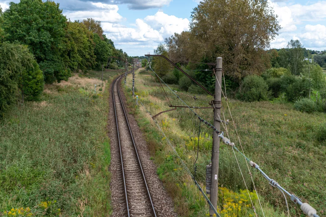
The first use case focused on how temperature affects rail networks. Today, infrastructure managers act mainly on forecasts. “Infrastructure managers often use weather forecasts to predict if tracks are likely to get too hot,” explains Ristic-Durrant.
When the risk is high, train drivers receive what are called low-speed orders, or traffic is stopped altogether. As the coordinator stresses, this can lead to significant disruptions in rail operations.
The SPATRA team developed a system that combines Copernicus thermal satellite data with machine learning. The algorithms are used to increase the resolution of the data, so that rail temperature can be monitored and the risk of rail buckling, meaning the deformation of tracks, can be estimated.
The solution was field-tested in Serbia. The tests showed that the system could enable infrastructure managers to continuously monitor rail temperature fluctuations across the whole network. As a result, track deformation risks can be identified earlier, which supports safe and efficient rail services.
The second use case took the team to the roads, and specifically to Serbia’s Batrovci border crossing. The aim was to target congestion and optimise parking facilities. “The idea was that satellite data could be used by logistics managers to monitor congestion levels at borders and also assess parking slot occupancy,” says Ristic-Durrant.
Several technologies came together in this application. The project harnessed the capabilities of both the European Global Navigation Satellite System and the Copernicus satellite systems, combined with drone-based vision and artificial intelligence. The result? Logistics managers could plan journeys more efficiently and estimate arrival times more accurately.
SPATRA has shown how Earth observation data can be applied in AI-enhanced models to ensure smooth and safe transport. Better road traffic management and more precise monitoring of rail infrastructure also have an environmental side: more efficient land transport networks are at the same time more environmentally friendly.
The coordinator assesses the results soberly. “We succeeded in increasing the technology readiness level of these applications,” notes Ristic-Durrant. She adds right away that the work is not over: “As with any system that uses AI models, we now need to gather more data to train the models.” Further improvements and field testing are meant to bring the technology closer to market readiness and encourage further investment in satellite-based solutions for land transport.
The SPATRA project is a reminder that satellites are about more than navigation. Openly accessible Copernicus Sentinel data, combined with machine learning, made it possible to follow rail temperatures across the whole network and to spot the risk of track deformation earlier, while at the Batrovci border it helped assess congestion and parking occupancy. For students of computer science, geoinformatics or logistics, this is a clear signal: data from orbit is waiting for ideas, and artificial intelligence needs more and more of it to work better.
5 questions · one minute


 EN

 CS
 DE
 ES
 FR
 HU
 IT
 PL
 PT
 РУ
 SK
 TR
 УК
 AR
 中文