
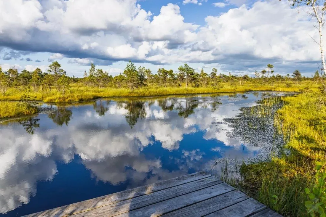
Peatlands and coastal lagoons cover only a small corner of Europe, yet they store carbon, help regulate floods, purify water and support rich biodiversity. For decades, however, they have been drained and polluted. A new report from the BioAgora project suggests how to assess, monitor and restore them, and argues that counting species is not enough, because what really matters is how a wetland works — and at the end you can check whether you look at nature like an attentive field researcher.
Peatlands and coastal lagoons are easy to overlook on a map of Europe. They cover only a small fraction of the continent’s land surface, and yet their importance for the environment is disproportionately large. They store carbon, help regulate floods, purify water and support rich biodiversity. The authors of a new report count them among the most vital, and at the same time the most threatened, ecosystems on the continent.
The condition of these habitats did not worsen overnight. Their decline is the result of processes that have been going on for decades: drainage, land use change, pollution and ongoing climate change. Together they have created a situation in which reversing the trend requires a solid scientific foundation.
That foundation is what a knowledge synthesis report prepared by the Science Service for Biodiversity under the EU-funded BioAgora project sets out to provide. The document was requested by the European Commission’s Directorate-General for Environment and supports key EU legislation: the Habitats Directive, the Water Framework Directive and the Nature Restoration Regulation. It offers a scientific roadmap covering three areas of work with wetlands – assessment, monitoring and restoration.
The core message of the report is simple: protecting peatlands and lagoons requires looking beyond simple maps and techniques such as species counts. According to the authors, effective assessment should focus on how these wetlands function, not only on what happens to grow and live there at a given moment.
In practice, this means looking at the processes that keep an ecosystem in good condition. For each of the two habitat types, however, something different is crucial.
For peatlands, the deciding factor is the water level. A stable, high water table prevents the carbon stored in them from being released and allows the unique vegetation that grows there to survive.
Coastal lagoons follow different rules. Their productivity is driven by a delicate balance between salt and fresh water. The trouble is that lagoons are variable by nature, and this very variability makes it difficult to tell natural changes apart from damage caused by humans.
The authors stress that the degradation of wetlands is rarely caused by a single factor. Usually, multiple pressures act on an area at the same time and interact in complex ways, and their effects add up to a cascade of damage – hard to detect and even harder to reverse. The situation is made worse by a lack of precise data that takes into account the context of a specific site. Without such data, it is easy to mistake a symptom for a cause.
The answer to these challenges is meant to be a unified approach to monitoring that combines three tools: satellite imagery, on-the-ground measurements and modelling. At present, assessment methods vary significantly across the EU, which leads to inconsistent data and fragmented restoration efforts. The BioAgora team therefore recommends a tiered indicator framework that distinguishes between essential and complementary variables. They include:
The aim of this system is to create a consistent language that makes it possible to evaluate wetland health across borders, using the same rules in different countries.
The report also contains a clear warning: an assessment should not rely on a single metric. No single indicator can capture the complex reality of how a wetland ecosystem functions. Robust assessment requires multiple lines of evidence – from field-based measurement and from remote sensing – as well as their interpretation by ecological experts.
The division of roles is fairly clear. Satellites can track large-scale changes in water levels or vegetation cover. Ground measurements, however, are still needed to validate these findings and to understand the biological processes behind the changes. The view from above shows that something is happening, but it does not always explain why.
The authors of the report also point to what should come next. They call for the development of calibrated, habitat-specific thresholds that would make it possible to tell intact sites from degraded ones. Such a line would give policymakers and specialists a clear point of reference when assessing a particular peatland or lagoon.
The BioAgora report helps to bridge the gap between scientific research and the implementation of EU policies, and it is meant to give policymakers and environmental practitioners the tools they need to safeguard Europe’s wetlands. Its message can be summed up in a few sentences. Wetlands should be assessed by how they work. For peatlands, water is the key; for lagoons, it is the balance between salt and fresh water. A reliable picture only emerges when satellite data, field measurements and expert knowledge are combined.
5 questions · one minute


 EN

 CS
 DE
 ES
 FR
 HU
 IT
 PL
 PT
 РУ
 SK
 TR
 УК
 AR
 中文