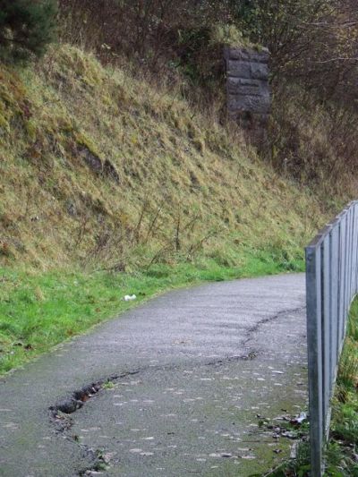
Land in low-lying coastal areas is subject to settling, sinking and compacting as a result of various natural and human-induced processes. Among these are land movements, removal of underlying supporting materials by mining, groundwater pumping, oil or gas extraction, and compaction caused by increased loads on the land surface.
Given the imminent adverse effects of climate change and increased human activity, scientists initiated the EU-funded
SUBCOAST project to develop a subsidence hazards forecasting service. The new service will form a key module of Copernicus (formerly named Global Monitoring for Environment and Security (GMES)).
The service was designed with user needs in mind to appropriately assess the impact of subsidence on flood risk and to monitor the integrity of coastal barrier systems. For the core product of the service, SUBCOAST scientists have implemented a new concept based on so-called dynamic digital elevation models (DEMs).
The approach chosen by SUBCOAST scientists was to estimate absolute velocities and heights, where well-defined geodetic data are available for both land and sea level. Digital elevation maps were produced by combining satellite with terrestrial and modelling data. The final dynamic DEM product is the result of rigorous work at pilot study regions, covering different scenarios that may prevail on the coast of Europe.
A prototype web portal was designed enabling interested users to assimilate data from multiple sources. Among these are hydrogeological data, in combination with persistent scatterer interferometry data.
SUBCOAST scientists built on the achievements the European Space Agency (ESA) project Terrafirma that had demonstrated the applicability of satellite interferometry in ground motion hazard assessment. Their research focused on the augmentation of data sources and the improvement of retrieval algorithms.
The SUBCOAST project expanded Copernicus services with a downstream service for monitoring the extent and impact of subsidence on Europe's low-lying coastal regions. The regular acquisition of radar data from EO satellites will help flood-risk practitioners to accurately estimate subsidence rates, something that was difficult in the past.

