Emergency services and those charged with civil protection and disaster
management will find their jobs easier thanks to the work being done by
the EU’s INCREO (‘Increasing Resilience through Earth Observation’)
project.
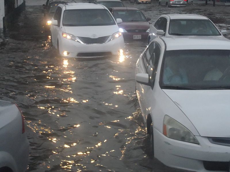
The impact of climate change is already being felt and every year
Europe is struck by natural disasters such as flooding. INCREO is
putting forward earth observation solutions designed to deal with a
variety of risks and tailored to match the user’s needs. The project
collects its earth observation data from the EU's Copernicus programme,
previously known as the Global Monitoring for Environment and Security
(GMES) programme.
INCREO addresses multi-hazard situations, either where disasters can
be triggered simultaneously or those where one leads on to another, and
the project has selected dam failure, storm surge and wave height,
flood and landslide as selected use cases.
In October 2014 the project made its first global map addressing
resilience and vulnerability issues in South West Europe and South East
Asia available through its website’s products section (
http://www.increo-fp7.eu/products/) and also uploaded a surface movement monitoring map of Buzau County, Romania.
Reducing the impact of disasters requires us to understand how
climate and socio-economic changes affect where and when disasters may
occur. Earth observation data helps in the assessment and modelling of
these changes, potentially allowing for the development of sustainable
risk management strategies. But frequently there is a low perception of
risk within the communities living in vulnerable areas.
This low perception can mean not enough measures are put in place to
reduce the impact of disasters. In some cases, the lack of awareness
may cause land to be used in ways that would make a disaster even more
severe. INCREO’s use of satellite imagery and mapping techniques can
provide a realistic snapshot of a location, raising awareness and
leading to the use of mitigation strategies where risk cannot be
avoided.
Evacuation of local residents is one of the biggest issues for civil
protection teams in the event of a disaster, so the project intends to
use earth observation data to work out population density. To do this
the team needs to develop a way to get the necessary information from
remote sensing data which will then need calibration to yield accurate
results.
The international project brings together ten partners from seven
countries. Members of the consortium range from enterprises such as
Airbus to organisations involved in supporting vulnerable sites, such as
UNESCO Venice. Coordinated in France, INCREO’s total budget is almost
EUR 3 million of which nearly EUR 2 million comes from the EU’s FP7
programme.
For more information, please visit:
INCREO
http://www.increo-fp7.eu/


 EN
EN  CS
CS DE
DE ES
ES FR
FR HU
HU IT
IT PL
PL PT
PT РУ
РУ SK
SK TR
TR УК
УК AR
AR 中文
中文