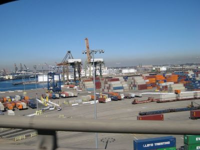
Maritime transport accounts for nearly 90 % of total world trade, and traffic at ports is expected to double over the next 2 decades. To meet this rocketing demand, an EU initiative introduced an innovative technology to enhance port efficiency and safety.
Vessel sizes are increasing as operators try to scale up production to
reduce costs. The burden falls on European ports as they try to safely
accommodate larger vessels while boosting the rate of production in port
facilities.
The EU maritime industry relies on several location systems to help
vessels such as container ships and bulk carriers to manoeuvre and dock
in ports. The existing systems, however, are expensive and lack
long-range capabilities. Thanks to the EU-funded
DOCKINGASSIST project, a vessel location system has become available with the capacity to improve port traffic management.
Team members initially carried out a user survey to define system
requirements. The prototype was successfully tested at the Port of Cork
in Ireland. The technology utilises a global navigation satellite system
and a novel wireless network to provide secure and effective
manoeuvring and docking across an entire port or harbour area. These
components eliminate the need for costly positioning systems.
The system uses a fixed base station installed at a port and
equipped with wireless technology with a range of several kilometres. It
supplies exact coordinates and transmits this data to a Global
Positioning System receiver on a vessel. A port operator then receives
real-time position and speed. Testing showed the vessel's location to be
accurate to the centimetre.
DOCKINGASSIST is expected to reduce docking practices by 20 %,
saving both time and money while reducing fuel and carbon dioxide
emissions. Project outcomes have the potential to turn European port
operations into viable economic centres.

