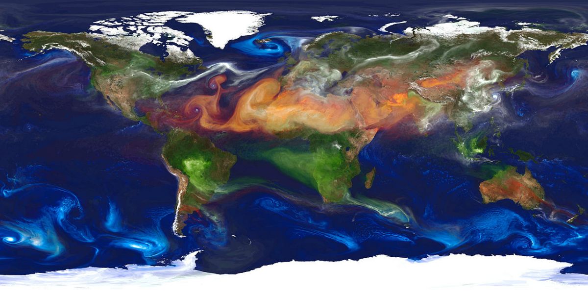
Sharing environmental data through GEOSS
Geospatial data is collected from floating data buoys in the world's oceans as well as land-based environmental stations and satellites orbiting Earth. Researchers worked together to make such vast amounts of data easier to use.
Members of the EU-funded project IGIT (Integrated geo-spatial
information technology and its application to resource and environmental
management towards the GEOSS) recognised the need to convey information
on the environment to decision-makers and the general public. However,
addressing this need is challenging because it requires a common
framework.
In this regard, the Global Earth Observation System of Systems (GEOSS) promises significant benefits through data integrating mechanisms and access to services that could be linked together. IGIT was a major step towards the goals of GEOSS. The project was driven by the vision its partners shared: environmental research can benefit from better access to geospatial information.
This staff exchange programme brought together research centres in China and Europe to streamline their work towards prototype systems for data collection and analysis. Specifically, eight leading institutions of different disciplines worked on information acquisition and management of diverse collections of geospatial information.
IGIT partners worked on developing chains of procedures to process optical, hyperspectral and aerial images, topographic maps and remote sensing data. However, turning data into understandable knowledge required that geospatial information coming from different sources is seamlessly integrated.
Moreover, understanding the Earth as a system requires geospatial information to be conceptualised in such a way that they are capable of interfacing with one another. Such synergy - the integration of diverse geospatial data and the building of one study upon another - has been possible in the context of the IGIT project.
During the four-year lifetime of the IGIT project, several workshops were organised for information and result exchange. The scientific results were published in peer-reviewed journals and elements of a prototype data integration system were demonstrated at the international conference organised by the consortium in 2015.
Not only research but also government operations and public services could benefit from improved access and use of geospatial data and services. From the experience acquired through IGIT, it is obvious, however, that many challenges remain in natural resources and environment information supply
last modification: 2016-02-08 08:45:29


 EN
EN  CS
CS DE
DE ES
ES FR
FR HU
HU IT
IT PL
PL PT
PT РУ
РУ SK
SK TR
TR УК
УК AR
AR 中文
中文