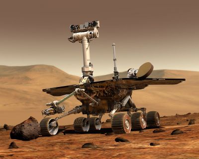
Over the last few years, international interest in global exploration of the surface of Mars, more distant planets and planetary moons has grown. In particular, a better understanding of the Martian surface morphology and geology can provide insights into the planet's origin as well as its capability to sustain long-term human presence.
However, planetary images collected by past space missions and 3D data derived from stereo images focused on specific areas of interest. The EU-funded project 'Planetary robotics vision data exploitation' (
PROVIDE) was launched with the aim to exploit this wealth of imaging data by bringing them into a unified spatial and temporal context.
To this end, PROVIDE partners gather into a single database large portions of data returned from spacecraft put in orbit around planets and from probes that have landed on their surfaces. By means of a WebGIS and novel geospatial processing tools, they identify spatial relationships between imaging and other data and reveal hidden content to add new value for science.
Access to the final 3D vision products will be provided through multi-resolution visualisation software that allows dynamic rendering of 3D scenes on the planets' surfaces. These digitised ground-level products will help a 'virtual geologist' to perform close-ups on key features, like sedimentary layers. In addition, it will be possible to measure distances and slopes to different levels of accuracy.
These innovative 3D vision and photogrammetry tools are expected to raise the scientific output of both past and future planetary missions. The PROVIDE team is already employing them in the geological analysis of several use cases. The lessons learned will lay the groundwork for the ExoMars mission of the European Space Agency (ESA), scheduled to be launched in 2018.

