The climatic role of aerosols
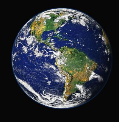
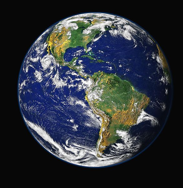
Earth, fot. public domain
An EU study worked to determine the role of atmospheric aerosols in climate processes. Satellite data show the distribution of atmospheric particle sizes, facilitating constant monitoring, issue of warnings, and better understanding of the dynamics.
Aerosols are small particles suspended in the air, and can be of either
natural or man-made origin. They play a significant role in climate
change; however, the exact extent is unknown.
The issue is an international research priority, and the EU funded
the two-year AEROMAP project to investigate. The key question was how
aerosol quantities and compositions vary around the globe and over time,
which the project addressed using daily whole-Earth satellite maps. The
goal was to subdivide the globe into distinct aerosol types, and to
show the distribution of particle sizes in the atmosphere.
Additionally, the project tested the feasibility of performing
global real-time aerosol monitoring. The team further considered
constructing an air quality index to assess climatic risks and issue
alerts regarding aerosol impact. The project wound up in early 2014.
AEROMAP developed and validated new data mining tools, based on
cluster analysis and neural networks. The tools convert satellite data
into aerosol microphysical properties for various globally distributed
aerosol types. The near-daily maps allow monitoring and classification
of aerosols as they move about the Earth.
Concerning the feasibility studies, AEROMAP determined that average
global distribution of aerosols can be separated into 10 distinct
regions, each having a particular composition. Neural network models
analysed eight years of daily data for each region. The models were
validated in terms of being able to retrieve aerosol microphysics.
Hence, the project produced global maps showing size distributions
of atmospheric aerosols, used to monitor the evolution of atmospheric
events. It was not previously possible to observe the evolution of such
events, especially over large uninhabited areas such as deserts or
oceans. The study also created the first near-daily maps of global air
quality produced from aerosol microphysics rather than chemistry. The
team developed two indices showing potential impact on health and
visibility.
The research yielded two conference presentations and four journal papers.
AEROMAP provided a new understanding of the dynamics of atmospheric
aerosols, an important factor in climate change. The project enabled use
of satellite data to create almost-daily whole-Earth maps of aerosol
properties and their effects.
published: 2015-02-11


 EN
EN  CS
CS DE
DE ES
ES FR
FR HU
HU IT
IT PL
PL PT
PT РУ
РУ SK
SK TR
TR УК
УК AR
AR 中文
中文