
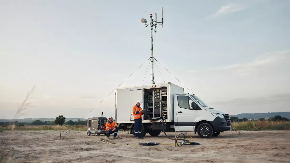
An earthquake, a flood or a fire can knock out phone coverage within moments, and that is exactly when communication matters most. The European GEXTRECS project looked at how to make sure emergency services do not lose contact even when the ground network is down. Satellites, a clever algorithm and the EU space programme come into play. We describe how it works and how the dress rehearsal with a simulated disaster went — and at the end you can check how you would cope with communication in a crisis.

When we think of satellites in transport, we usually picture the navigation app on our phone. The European SPATRA project shows that orbit can offer far more: Earth observation data, backed by artificial intelligence, helps keep an eye on rail temperatures and ease congestion at a border crossing in Serbia. The goal is simple — safer, more efficient and more environmentally friendly land transport — and at the end you can check what kind of traveller you are in the world of data.
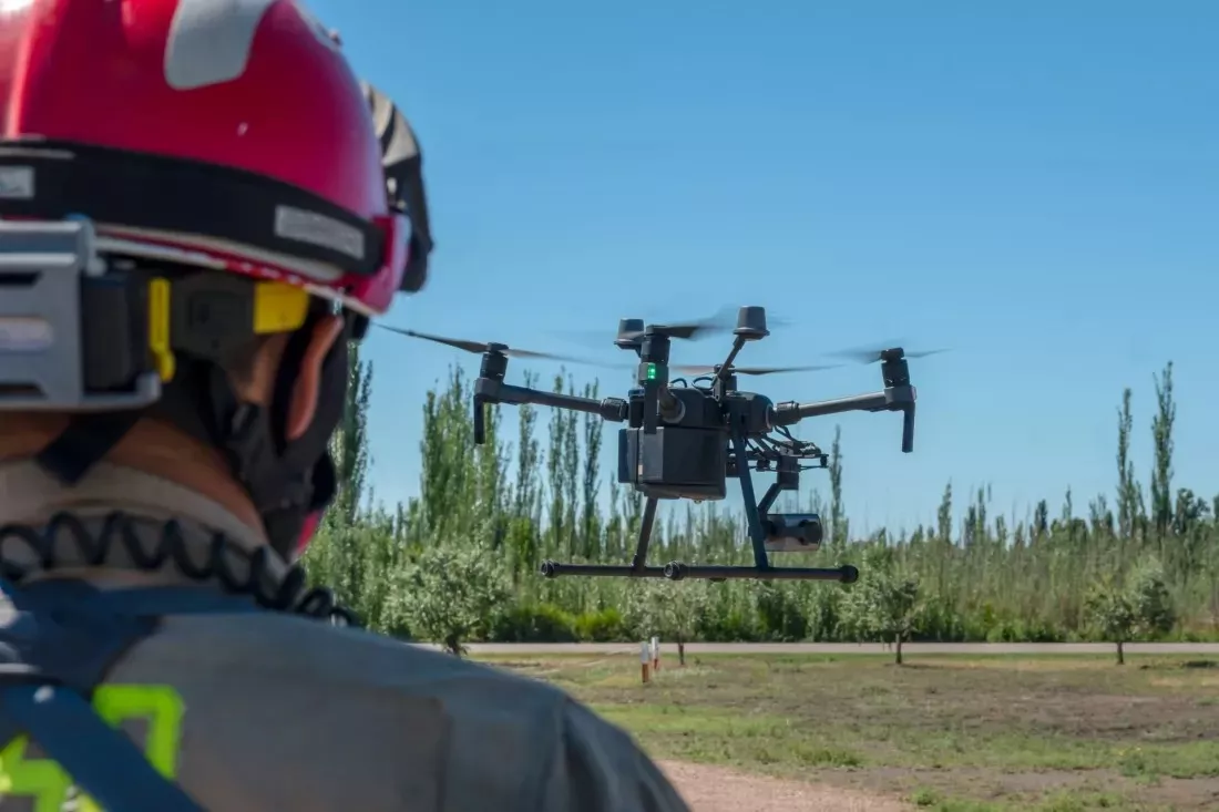
A forest fire or a flood means chaos: smoke, water, broken communication lines and dozens of teams that have to act together. The EU-funded OVERWATCH project combines data from satellites and drones, artificial intelligence and augmented reality so that rescuers can understand faster what is happening on the ground. The system was put to the test during exercises in Portugal and Poland – and at the end you can check how well you keep a cool head when every piece of information counts.
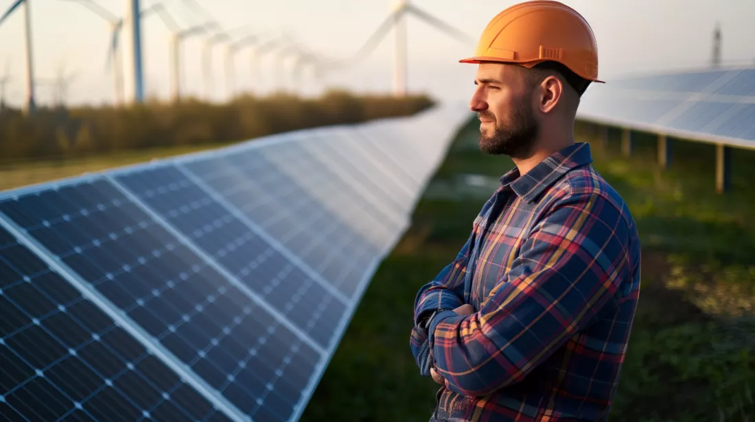
Sunshine and wind do not follow the schedules of electricity users: when the weather changes, so does the amount of power flowing into the grid. The EU-funded RESPONDENT project set out to reduce this uncertainty by combining data from Europe’s Copernicus and Galileo space programmes with readings from local weather stations, and put its platform to the test in Greece and Spain — and at the end you can check how well you understand the link between satellites and the grid.
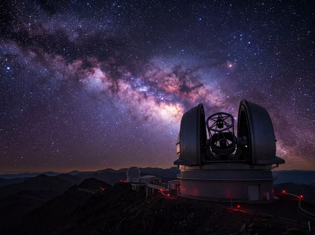
Telescopes keep getting sharper and space missions keep travelling further, yet nobody has found confirmed evidence of life beyond Earth. An international team of researchers suggests that part of the problem may lie in how we look: science worries a lot about claiming life where there is none, and far less about missing real traces. Statistics students call this a false negative – and at the end you can check whether you have the eye of an alien-trace hunter.
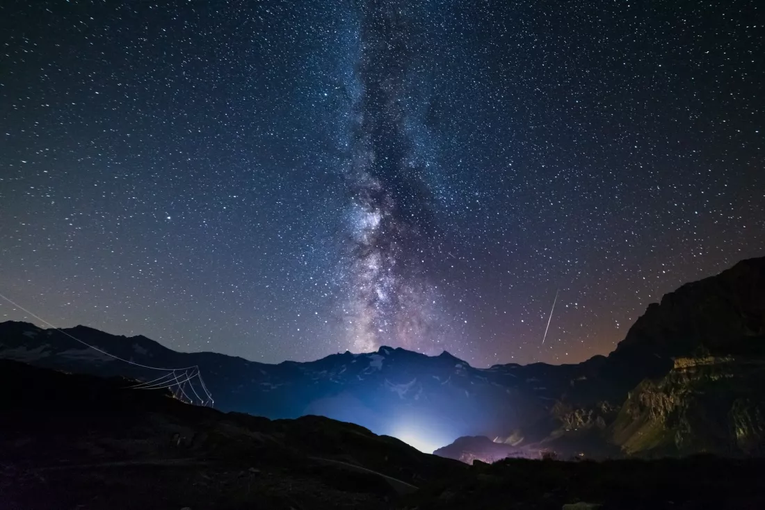
Lie on a blanket somewhere far from the city and one thing becomes obvious within a minute: the stars are not scattered evenly. Some patches of sky are crowded, others look almost empty, and a pale band runs straight across the middle. The answer to that one naive question leads through gravity, the shape of the Milky Way, three families of galaxies and a collision already pencilled in for ten billion years from now – and at the end you can check what kind of sky-watcher you are.
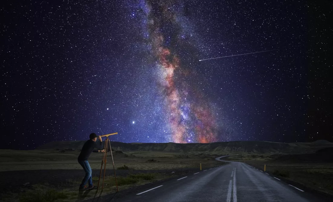
Star catalogues hand out ages to several decimal places, and the numbers look as solid as a temperature reading. They are not. For decades the models behind them simply assumed how much helium a star holds, because nobody knew how to measure it. The EU-funded CartographY project set out to stop assuming, and in the process it showed how far precision can drift from accuracy — the difference between treating astrophysics as a method and treating it as a view.


 EN

 CS
 DE
 ES
 FR
 HU
 IT
 PL
 PT
 РУ
 SK
 TR
 УК
 AR
 中文